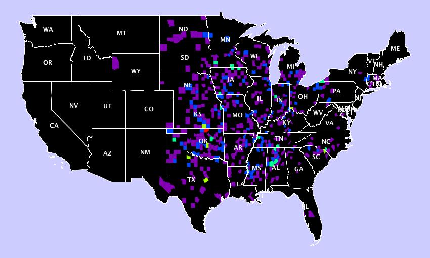
The USA map image plots tornado occurrences across the US since the 1950's.
The initial interest in looking at this came from the recent tornado in Moore Oklahoma. If you didn't follow the story Moore was hit by 'the' major tornado in 1999, this F5 was measured as having 301 mile an hour winds - the highest wind speeds ever recorded. May 20th of this year Moore was again hit by a F5 tornado with 210 mile an hour winds that was at one time 1.3 miles in width. See the F5 tornado historic map at the end of this page to get some idea how rare these systems are. Coincidence is difficult to accept.
If you wanted to live somewhere with a lower chance of a tornado would you live in Oregon or Kansas? In some cases it is clear at the state level that a particular place has a greater tornado risk. How about living in west Colorado or east Colorado? North Texas or south Texas? Maybe a little less clear but it still seems pretty evident that you would have less tornado risk in west Colorado and south Texas. So at times it is also clear within half state regions that risk is different in different places. Do you see anywhere in the map you could decide this on a quarter of a state basis? That doesn't seem so easy to determine by looking.
Is there any possibility you could narrow the region even further and decide if it would be safer to build a home north of Oklahoma City than it would be to build one in Moore? Or is there no indication of any more safety at all anywhere within maybe a 100 mile radius? People who undoubtedly know a lot more about this than me say that recurrence of the severe storms that have hit Moore are a coincidence. There is no geographic reason and no long term past history to make this anything more than a coincidence. However, I am not sure the weather patterns concerning these storm systems are completely understood yet.
In doing some internet searching I didn't come across statistics based studies to confirm or deny this. It seems to me that statistics, without any understanding of the underlying geography or meteorology, should be able to tell you if any locations seem to have more repeated tornados, possibly like in Moore - more repeated severe tornados, than random chance alone would predict over a more extended period of time. I have seen studies that seemed to suggest that tornados can cluster in some regions over short periods of times. I have to look at these more closely but I don't think they are exactly taking the statistics approach I am thinking of.
Making predictions based on data for things like this, or say presidential elections as another example, is of interest to me. That is why I am currently taking a Data Science class on Coursera. As near as I can tell you take the courses there when you can. If I had a choice I would probably be taking a basic statistics course before I attempted Data Science. At this time I probably do not have the statistics skills to get to a complete answer to this question at this time. So I may add to this project over time. There should be more to come.
I would think the answer might be of interest as well to anyone thinking of building a house in some parts of tornado alley.
I am probably not going to put any more effort into this until we are out of tornado season. I don't want to feel like I am trying to sensationalize on any possible on-going catastrophes.
These colors are based on a spectrum used as a sort of heatmap. The counts per county are determined and then color determined based on the max count corresponding to red on the spectrum and 0 corresponding to black. Colors in between are determined by where they are between the minimum and maximum.
The full spectrum

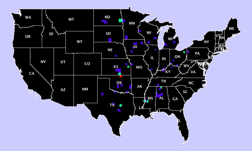
The code for determining the colors is based on Algorithm to convert any positive integer to an RGB value